
Table of Contents
A groundwater hydrogeological survey is the study that decides where a borehole goes and how deep it should run. It reads the rock, the terrain and the water chemistry before a rig is booked.
This page covers the five steps of a groundwater hydrogeological survey, the report, the cost bands and the limits of the method. In practice, a survey lowers the risk of a dry hole. It does not remove it.
What a Groundwater Hydrogeological Survey Is
Groundwater sits in aquifers, which are layers of rock or sediment that hold and transmit water. A survey maps where those layers sit, how thick they are, and whether the water in them is usable. It combines geology, hydrology and field measurement.
The output is a site decision, not a general report on the area. Four questions drive it.
- Where? The exact point for the borehole, with coordinates.
- How deep? The target depth and the aquifer it reaches.
- How much? An expected yield in cubic metres per hour.
- How clean? The water quality risks at that depth.
Also, the survey sets the well design: the casing, the screen and the pump size all follow from the depth and the yield. The borehole drilling in Kenya guide covers what happens after the survey is signed off.
Why a Survey Comes Before Drilling
A drilling rig costs far more per day than a groundwater hydrogeological survey costs in total. That is the whole argument. A rig that drills in the wrong place bills for the hole, the casing and the demobilisation, and the farm still has no water.
However, the aquifer is not uniform. Two plots a few hundred metres apart can sit over different fractures, and one can yield while the other fails. A survey reads those differences before money is committed.
Therefore, the survey also supports the water permit application, because the regulator wants a location, a depth and an intended use. Without that, the application is guesswork.
The Five-Step Groundwater Hydrogeological Survey Process
The work follows five steps. Each one narrows the target before the next begins.
Step 1: Desk study
First, the team reads the existing record: geological maps, hydrogeological maps, rainfall data and the logs of nearby boreholes. Satellite imagery then shows lineaments, drainage and vegetation that hint at fractures. This step is cheap and it removes the obviously poor sites.
Step 2: Field reconnaissance and geophysics
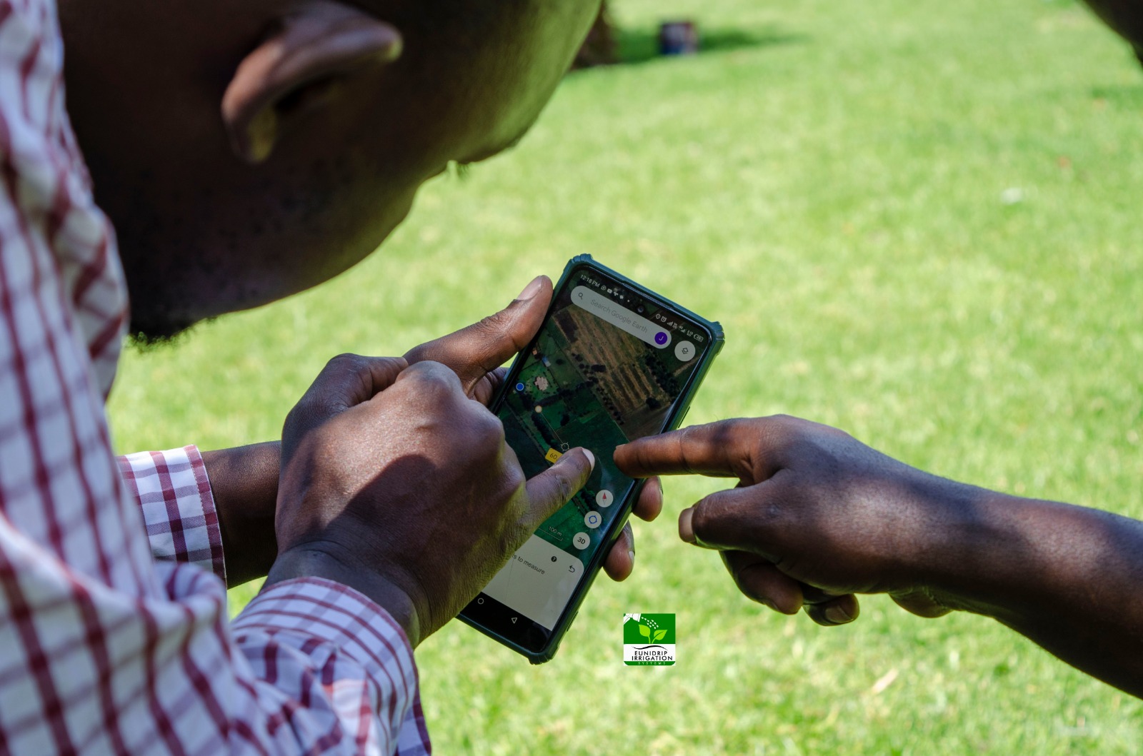
Next, the team walks the site and confirms access, slope and the position of the proposed borehole. Then come the measurements. Electrical resistivity soundings map the depth to fresh rock and the weathered zone above it, while electromagnetic methods trace fractures and conductive zones.
Step 3: Data interpretation
Then the readings are modelled against the desk study. The team fixes the target depth, estimates the yield and flags the water quality risks. Interpretation is where experience matters, because the same reading can mean two different things in two rock types.
Step 4: Report
In addition, the report sets out the coordinates, the target depth, the expected yield and the recommended construction. It also carries the drilling and testing plan, which the rig crew follows on site.
Step 5: Drilling supervision
Finally, the survey team supervises the drilling and the pumping test. If the hole meets unexpected rock, the log is adjusted on site. That supervision is what connects the report to the finished borehole.
What the Survey Report Tells You
A useful groundwater hydrogeological survey report answers six questions in plain language. If it does not, it is a site visit, not a survey.
- The borehole coordinates and the elevation of the site.
- The target depth and the aquifer expected at that depth.
- The expected yield, stated in cubic metres per hour.
- Water quality risks such as fluoride, salinity or iron.
- The recommended casing, screen and pump size.
- The drilling and pumping test plan.
Typically, the report also includes the resistivity curves and the field notes, so a second hydrogeologist can check the reasoning. Ask for those annexes before you pay.
Groundwater Hydrogeological Survey Costs in Kenya
The bands below are the ones published on this page. They cover the survey work, not the drilling.
| Item | What it covers | Published band |
|---|---|---|
| Preliminary assessment | Desk study, geological mapping and geophysical investigation | KSh 50,000 to 150,000 |
| Water quality analysis | Chemical, physical and bacteriological testing of a sample | KSh 5,000 to 15,000 per sample |
However, the final figure moves with four things: the size of the area, the number of survey points, the distance to the site and the state of the access road. A plot on a tarmac road in Nakuru costs less to survey than a block reached by a four-wheel-drive track.
Also, the survey is a small share of the total borehole budget. Compared with a dry hole, it is the cheapest line in the project.
What Changes Across Kenya
Typically, the method is the same everywhere. The ground is not. Four things change the work between counties.
- Geology. The Rift Valley and the highlands sit on volcanic rock, the east and north-east hold sedimentary basins, and the west and centre are largely basement rock. Each stores water differently.
- Water quality. Fluoride runs high in some Rift Valley aquifers, and salinity is a risk near the coast.
- Terrain. A steep or rocky site limits where the electrodes go and where the rig can stand.
- Season. Water levels drop in the dry months, so a survey done in March reads differently from one done in August.
Therefore, a groundwater hydrogeological survey carried out in one place tells you nothing certain about the next farm, even across a fence line. The reading has to be taken where the borehole will stand.
What a Survey Cannot Promise
A survey is a probability, not a guarantee. It can rank one site above another and set a realistic drilling depth. It cannot open the rock and look inside.
Therefore, three limits are worth stating plainly. The aquifer can pinch out between two survey points. A nearby borehole can draw the water down after both are running. And a yield measured in the wet season can fall in a dry year.
Similarly, a survey on a plot with no road access takes longer, and the extra cost is logistics rather than science. Ask for the access plan with the quotation.
Choosing a Survey Team
First, ask what equipment the team brings. A resistivity meter and a GPS are the minimum, and a team that works from a phone app alone is not doing geophysics.
Then ask for a sample report. It should name a target depth and a yield, not only describe the area. Finally, ask whether the team supervises the drilling, because that is where the report earns its keep. The borehole drilling in Nakuru page shows how a survey turns into a working site.
How to Prepare for the Survey
Most of the delay in a survey comes from the client side, not the field work. Five items remove it.
- The plot coordinates, or a pin dropped on the exact point.
- Permission to enter the land, including the route for a vehicle.
- The intended use, such as domestic supply, irrigation or livestock.
- The daily volume needed at peak, in cubic metres.
- Logs or contacts for any borehole within a few hundred metres.
Also, clear the survey lines of tall crops and parked machinery. A site that is ready takes a shorter visit, and a groundwater hydrogeological survey costs less when the field day is short.
Water Permits and What Comes After
In Kenya, abstraction is regulated by the Water Resources Authority, which issues water permits. The survey report supports that application with the location, the depth and the intended use.
After drilling, the borehole is tested and the water is analysed. The pump is then matched to the tested yield, not to the estimate. For a quotation or a site visit, use the contact page or call 0728 163329.
Groundwater Hydrogeological Survey: Frequently Asked Questions
What does a groundwater hydrogeological survey involve?
A desk study of maps and nearby borehole logs, a site visit with geophysical measurements, an interpretation, a written report and supervision of the drilling.
How much does a survey cost in Kenya?
Preliminary assessment runs from KSh 50,000 to 150,000, and water quality analysis from KSh 5,000 to 15,000 per sample. Access and the number of survey points move the figure.
How long does a groundwater hydrogeological survey take?
The field work is usually a few days, and the report follows within a few weeks. Larger sites and remote access stretch the timeline.
Does a survey guarantee that the borehole will yield water?
No. It raises the odds and sets the depth, but the aquifer can still fail to produce at that point. That is why the drilling plan includes a test.
Can a survey be done before land is bought?
Yes, if the owner allows access and gives the coordinates. A survey on a plot you are considering is cheaper than buying land that cannot be drilled.
Do you survey outside Kenya?
Yes. The team works across East Africa, and the method changes only with the ground, not with the border.
For the drilling stage that follows, read the how a borehole is drilled step by step.